




















































An open-source intelligence platform combines geospatial, transport, satellite and network reconnaissance data into a browser-based dashboard that runs without dedicated server infrastructure.
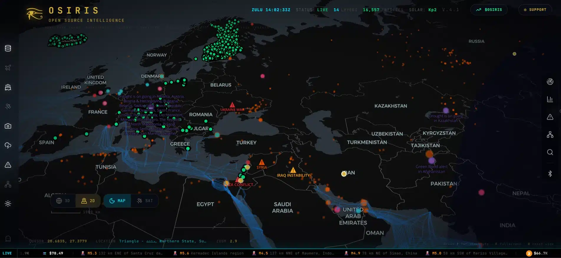
Osiris is an open-source intelligence (OSINT) platform that aggregates publicly available geospatial information into a single interactive operational dashboard. The tool was developed by simplifaisoul, who allows users to visualize and analyze different real-time data feeds using a web application without consuming significant computing resources.
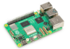
It is meant to work on a regular laptop with its backend installed either via Docker or Node.js. Most computational processing is performed locally on the user’s machine with the help of WebGL and GPU, thereby ensuring stable visualization in case of working with thousands of objects simultaneously. There are over 15 switchable data layers including aircraft and maritime data, satellite wildfire data, infrastructure data, submarine internet cables, seismology and air quality information.
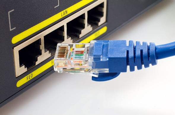
In addition to the mapping abilities, Osiris includes built-in network reconnaissance tools including TCP port scanning, DNS records retrieval, WHOIS query, SSL/TLS inspection, service discovery and vulnerability scanning. Those functionalities help the platform become more than just a visualisation dashboard transforming it into an intelligence analysis environment using only publicly available data sources.
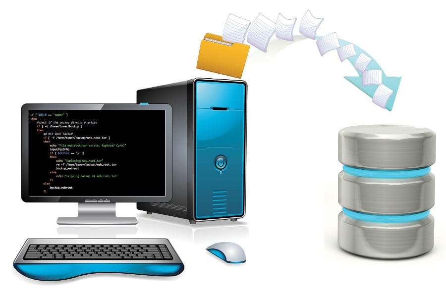
In contrast to commercial intelligence platforms, which usually imply some significant infrastructure expenses and subscription fees, Osiris renders maps and processes data locally on the user’s computer, thus minimising the need for additional servers and costs. Data is obtained from free public APIs including not only satellite imagery but also amateur radio databases.
Osiris is an open-source platform, therefore, it can be customized and improved by the community depending on specific intelligence and geospatial analysis requirements. At the same time, the developers note the dual-use capabilities of the tool. In this way, it can be used not only for conducting open-source investigations and helping in emergency situations but can also be used for reconnaissance or even malicious purposes, which means that there are certain risks associated with the ability to analyse large sets of public intelligence data.